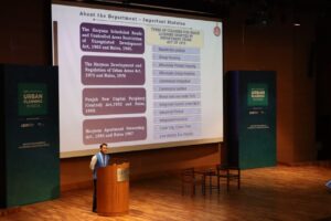
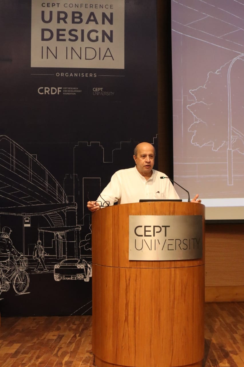
Ahmedabad, Nov 26, CEPT Research and Development Foundation at CEPT University kicked off the second edition of CEPT Conferences by hosting a conference on Civil Engineering based on the theme “Geospatial Technologies for Infrastructure.’
According to CEPT University, The conference brought together key industry leaders, academics, and technology experts to explore the latest innovations, trends, and challenges in integrating geospatial technologies into large-scale infrastructure projects.
Professor Barjor Mehta, President, CEPT University said, “With India’s ambitious infrastructure projects, geospatial technologies are emerging as indispensable tools. This conference aimed to harness the potential of these technologies by bringing together industry leaders and experts to discuss their applications and implications.”
As India embarks on a massive infrastructure transformation, geospatial technologies are emerging as powerful tools to optimize planning, execution, and management. This conference aimed to bring together industry leaders, academics, and technology experts to explore the latest advancements and challenges in integrating these technologies into large-scale infrastructure projects.
The key highlights of the conference included expert talks, panel discussions, presentation of global case studies by renowned domain specialists such as Ms Shweta Mishra, Scientist, Space Applications Centre; Mr. Gopal, Senior group engineer, GIS; Dr Bhargav Dave, CEO, VisiLearn; Mr Sanghee Shin, CEO & President, Gala3D (South Korea); Dr Shyju Krishnankutty, Group Manager (Presales), ESRI India; Mr. Shailesh Gaur, Advisor, Digital Transformation; Dr. Udit Bhatia, Assistant Professor, IIT- Gandhinagar; Mr. Amit Anand, Principal Consultant, PwC, Dr. Mukta Girdhar, Senior Consultant, Delhi Disaster Management Authority and Mr. Bhupesh Gupta, CEO – Geo Nomads.
Prof Aanal Shah, Dean, Faculty of Technology, CEPT University said, “With implementation of Geospatial technologies such as GIS and Remote Sensing along advanced data analytical tools with artificial intelligence and machine learning, the study of shifts in the complicated patterns of the earth’s surface has been far more precise than that of the earlier days. The students of the Geomatics program at CEPT university are assigned the problem related to the natural resources’ depletion or climate change impact and through mapping and critical thinking, propose the probable solutions. Recently, Geospatial technologies have stretched their reach beyond traditional mapping and have been extensively explored in various domains (and not limited to) such as disaster management, resources management and urban planning and contribute immensely in decision making towards solving global challenges.”
Mr Suren Vakil, Vice Chairman, CRDF, said, “By bringing together industry leaders and academic experts, CRDF has taken a significant step towards leveraging the transformative power of geospatial technologies. Together, we can shape the future of India’s infrastructure, making it more efficient, sustainable, and resilient.
”

